Europe in 1989 (the Cold War) - history map quiz
This quiz is part of Pro, which is coming soon. Meanwhile you can explore it for free in Learn mode.
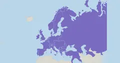
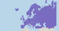
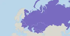
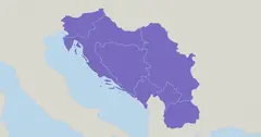
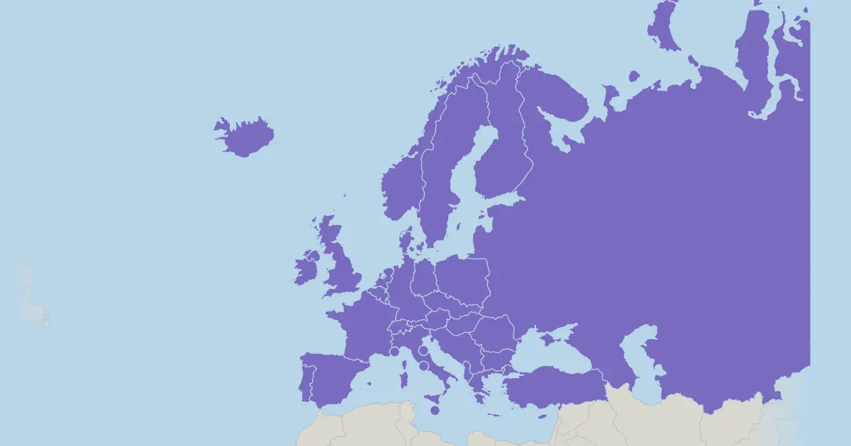
"Europe in 1989 (the Cold War)" is a history map quiz with 35 states. This is Europe in 1989, the year the Iron Curtain came down: two Germanys, one Soviet Union, one Czechoslovakia and one Yugoslavia. Within a few years the Soviet Union, Czechoslovakia and Yugoslavia would all be gone, and the two Germanys reunited in 1990.
You are given a name and tap that place on the map as it looked then; each place allows three tries, and the faster and more accurately you answer, the more points you score. Choose Play for a scored run, or Learn to explore the map first.
Answer list (35)
| State |
|---|
| Albania |
| Andorra |
| Austria |
| Belgium |
| Bulgaria |
| Cyprus |
| Czechoslovakia |
| Denmark |
| East Germany |
| Finland |
| France |
| Greece |
| Hungary |
| Iceland |
| Ireland |
| Italy |
| Liechtenstein |
| Luxembourg |
| Malta |
| Monaco |
| Netherlands |
| Norway |
| Poland |
| Portugal |
| Romania |
| San Marino |
| Soviet Union |
| Spain |
| Sweden |
| Switzerland |
| Turkey |
| United Kingdom |
| Vatican City |
| West Germany |
| Yugoslavia |
Questions and answers
How many states are in "Europe in 1989 (the Cold War)"?
35 states.
How does the quiz work?
In Play mode you get one place at a time, in random order, and tap it on the map. Each place allows up to three taps: right on the first tap counts most, and a quicker run scores more. The most you can score in this quiz is 887 points. Learn mode has no timer and no score.
Which places are hardest to tap in "Europe in 1989 (the Cold War)"?
Vatican City, Monaco and San Marino are drawn very small. Zoom in with the plus button, or use Learn mode first to see where they are.
Is this quiz free?
Learn mode is free in your browser. Playing this quiz for a score is part of Pro, which is coming soon.