 Geographic HistoryHistorical world atlas
Every year has a map
Go and look at 1687
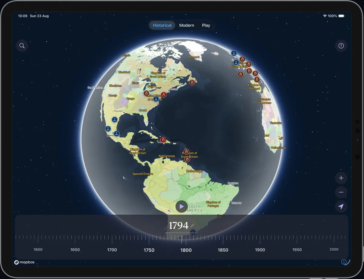
An interactive historical world map and atlas - scroll from 450 BC to today and watch who ruled where.


Geographic HistoryHistorical world atlas
Go and look at 1687
An interactive historical world map and atlas - scroll from 450 BC to today and watch who ruled where.
Every number is visible on the map - search or scroll the timeline and visit it on map.
2,500 years of borders - from ancient kingdoms to the modern reality - on a single map with timeline. Move the history or hit play and let it run.
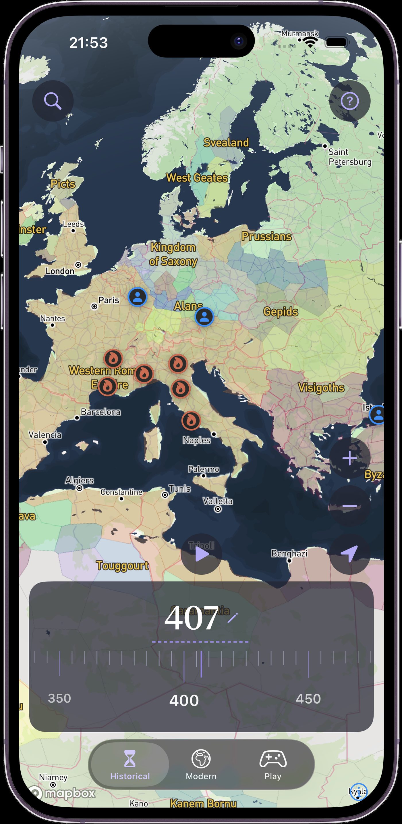
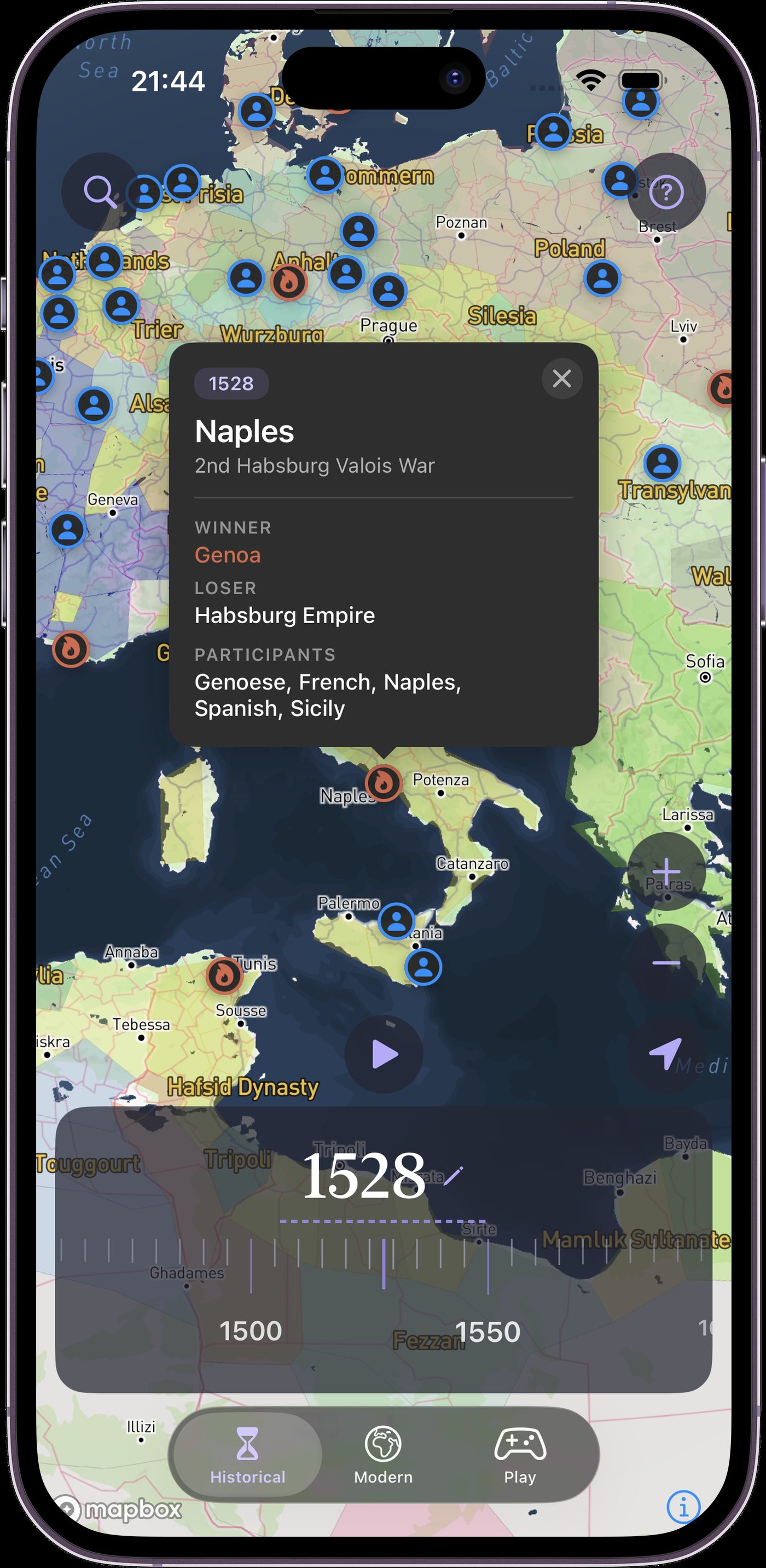
Territories, battles, people - tap any pin for who ruled, who won, or who lived there, and what came next.
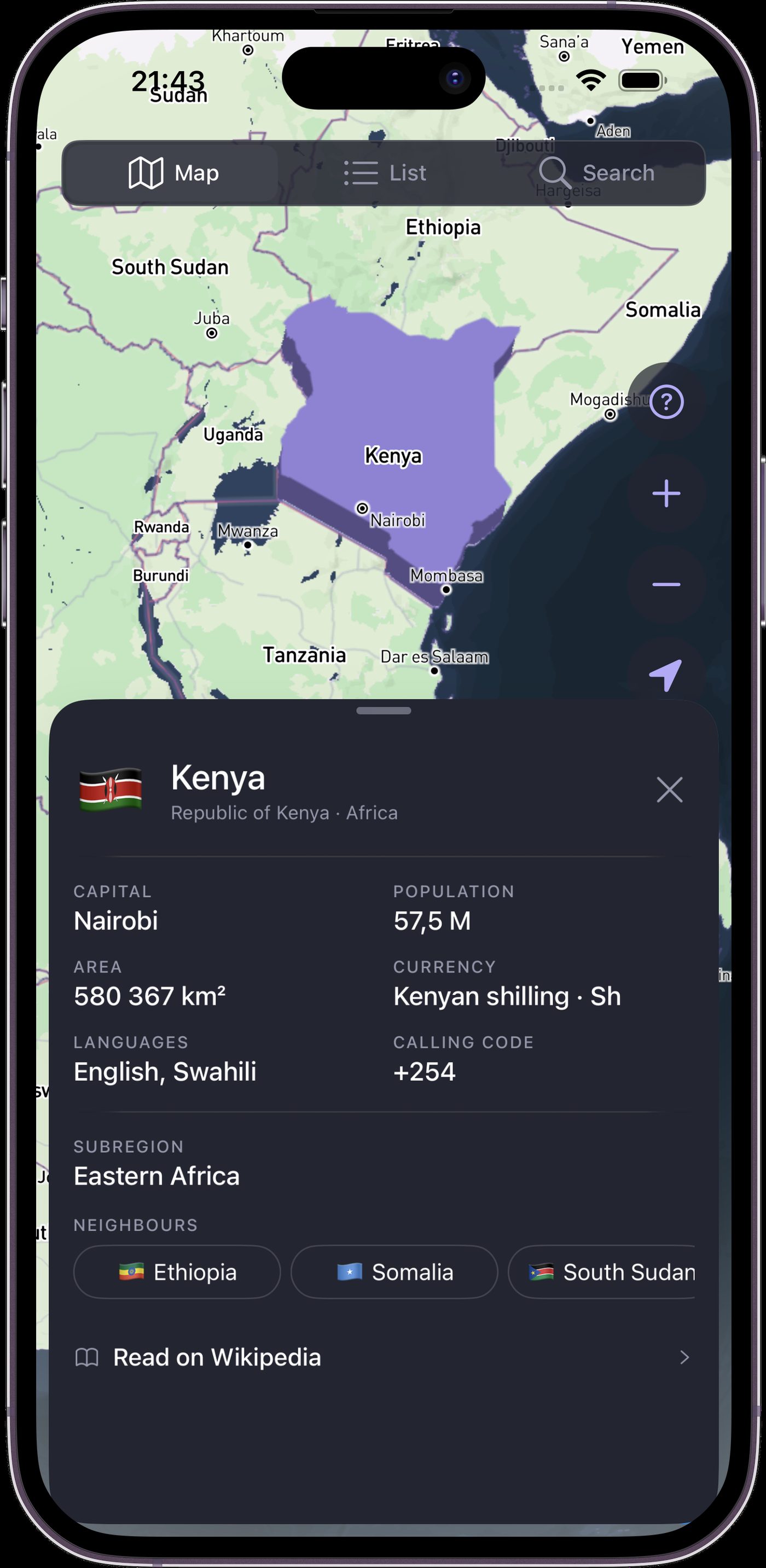
Find and explore every modern country on Earth. Flags, capitals, population, area, currency and more.
Guess the country by silhouettes, guess the largest one, guess the capital and more.
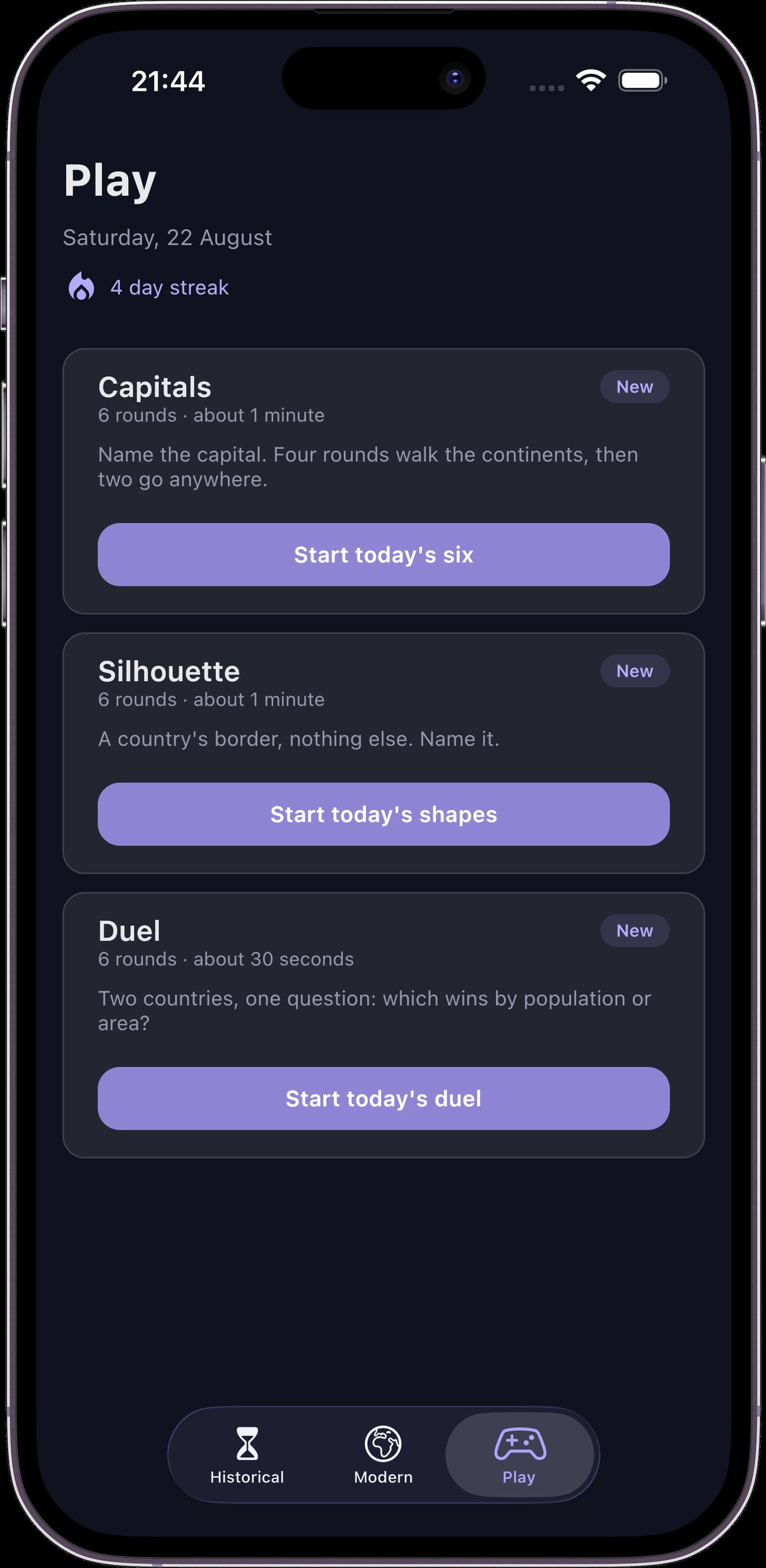
Every year gets its own map, not just centuries - drag the timeline and watch borders redraw one year at a time. Add province-level ruler and culture coloring, 100,000+ tappable events, people and places, a full modern atlas, and daily geography games, all in five languages.
The map covers 450 BC to today - roughly 2,500 years of shifting borders, one year at a time.
The modern atlas, search, and country details work offline. Map tiles need an internet connection to load, so download areas you need before going offline.
Yes, it's free to download on iOS and Android.
Yes - teachers and students use it for classroom and research. Cite this website or the app when you publish work made with it.
Five interface languages: English, Spanish, Russian, Simplified Chinese (zh-Hans) and Arabic.