Europe in 1914: 10 Largest Countries - ranking quiz
This quiz is part of Pro, which is coming soon. Meanwhile you can explore it for free in Learn mode.
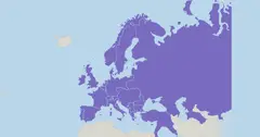
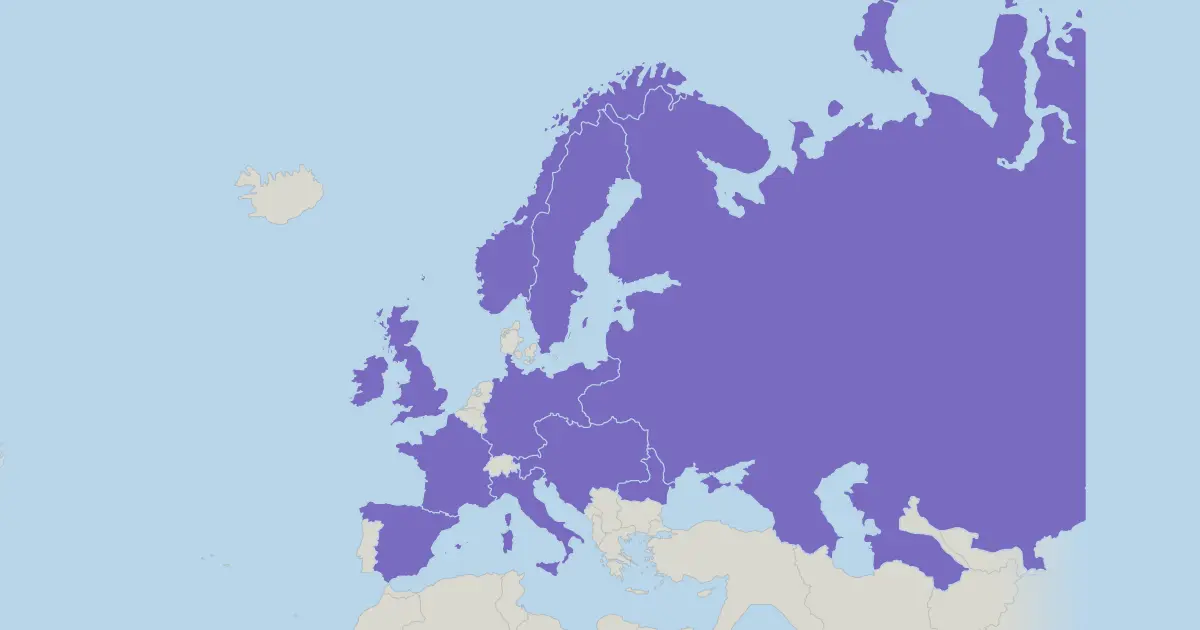
"Europe in 1914: 10 Largest Countries" is a ranking quiz. Counting only their territory in Europe, the largest state in 1914 was Russia, with about 5.5 million km², ahead of Austria-Hungary and Germany. Only the territory in Europe is counted. Areas are approximate and describe the states as drawn on the map of that year.
You are given a rank and tap the state that holds it, starting from the smallest of the 10 and ending with the largest. Choose Play for a scored run, or Learn to explore the map first.
Answer list (10)
| Rank | State | Area, km² |
|---|---|---|
| 1 | Russia | 5,455,000 |
| 2 | Austria-Hungary | 675,719 |
| 3 | Germany | 540,858 |
| 4 | France | 536,464 |
| 5 | Spain | 505,370 |
| 6 | Sweden | 450,295 |
| 7 | Norway | 323,802 |
| 8 | United Kingdom | 314,649 |
| 9 | Italy | 284,653 |
| 10 | Romania | 137,903 |
Questions and answers
How many places are in "Europe in 1914: 10 Largest Countries"?
10 places.
How does the quiz work?
In Play mode you get one place at a time, in random order, and tap it on the map. Each place allows up to three taps: right on the first tap counts most, and a quicker run scores more. The most you can score in this quiz is 474 points. Learn mode has no timer and no score.
What is the right order for "Europe in 1914: 10 Largest Countries"?
The ranking is 1. Russia (5,455,000 km²); 2. Austria-Hungary (675,719 km²); 3. Germany (540,858 km²); 4. France (536,464 km²); 5. Spain (505,370 km²); 6. Sweden (450,295 km²); 7. Norway (323,802 km²); 8. United Kingdom (314,649 km²); 9. Italy (284,653 km²); 10. Romania (137,903 km²).
Is this quiz free?
Learn mode is free in your browser. Playing this quiz for a score is part of Pro, which is coming soon.